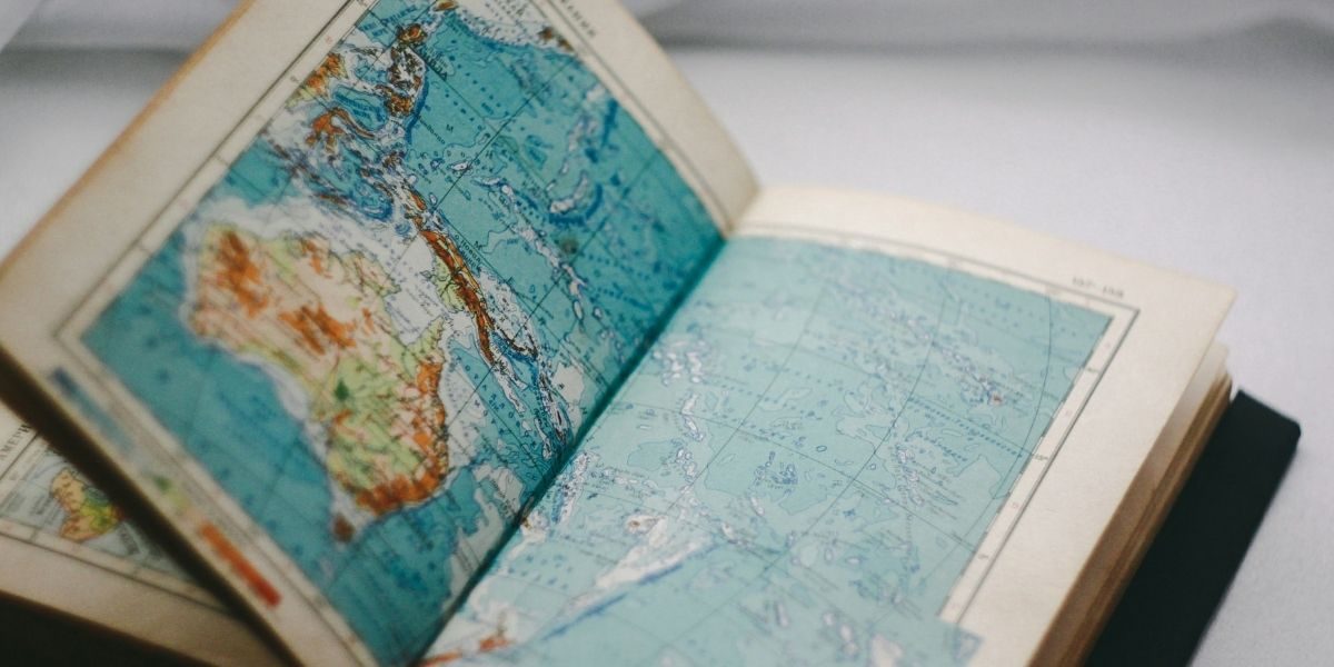
In an age where geographical knowledge is essential for understanding global events, cultures, and ecosystems, a world atlas remains one of the most invaluable tools for both learning and exploration. A world atlas offers a comprehensive view of our planet, providing a detailed representation of countries, cities, landscapes, and geopolitical borders. Whether for educational purposes, travel planning, or simply satisfying curiosity, an atlas helps us better understand the world around us. This article delves into the significance of the world atlas, its evolution over time, and the modern tools that continue to guide our understanding of the planet.
Read Also: Essential Items to Pack When Traveling Abroad
What is a World Atlas?
A world atlas is a collection of maps, typically accompanied by thematic charts and illustrations, that offers an organized view of the Earth’s surface. It includes detailed maps of countries, regions, and continents, showing geographical features like mountains, rivers, seas, and forests. In addition to these physical features, a world atlas often provides information on political boundaries, population statistics, economic data, and more. Atlases have historically been used to enhance geographical literacy and to serve as navigational guides, both for explorers and for students seeking to better understand the layout of our world.
A world atlas is not just about providing maps; it also serves as a visual representation of our planet’s complexity. It highlights the diverse natural environments and the socio-political structures that govern the world, from historical landmarks to modern-day cities. In a world that is rapidly changing, with new borders, shifting landscapes, and evolving economies, the atlas offers a static yet essential reference point for understanding these transformations.
The Evolution of the World Atlas
The history of world atlases dates back to the early civilizations, when mapmaking began as a means of navigation and trade. The ancient Greeks were some of the first to document the Earth’s geography, with early cartographers like Ptolemy creating rudimentary maps of the known world. As navigation techniques advanced and exploration increased during the Renaissance, the accuracy and scope of atlases grew significantly. This period saw the production of highly detailed and more widely accessible atlases, particularly with the invention of the printing press.
During the Age of Exploration, as sailors and explorers traveled further than ever before, the need for more comprehensive atlases grew. Maps began to include not only coastal outlines but also more accurate depictions of the continents and territories that explorers had discovered. In the 16th and 17th centuries, cartographers like Gerardus Mercator revolutionized map-making with projections that allowed for more precise depictions of landmasses.
The 19th and 20th centuries brought further advancements, with the global positioning system (GPS) and satellite technology improving the accuracy of world maps. Modern-day atlases include satellite imagery and computer-generated mapping to provide a more detailed and accurate picture of the Earth. Today, atlases are produced both in physical form and as digital versions, offering users new ways to engage with the world’s geography.
Why is a World Atlas Important?
In an increasingly globalized world, understanding the geography of our planet has become more important than ever. A world atlas provides context for global events, whether they are political, environmental, or economic. By referring to an atlas, individuals can see how different countries interact with one another, the natural resources that shape economies, and the physical landscapes that define regions.
A world atlas is an essential tool for educators and students, offering a tangible way to learn about geography and the interconnectedness of various global systems. It allows students to visualize political borders, demographic distributions, and the environmental factors that influence culture and society. For teachers, the atlas serves as a teaching aid to illustrate key concepts and provide students with a broad perspective on the world.
For those with a passion for travel, a world atlas is a vital tool for planning adventures, whether it’s a journey through remote countries, a road trip across continents, or simply understanding the destinations on a global map. Travelers use atlases to study distances, routes, time zones, and cultural regions, helping them make informed decisions about their travel plans.
In the professional world, industries such as logistics, international business, and geopolitics rely on a deep understanding of geographical data. A comprehensive world atlas can provide crucial insights into regional dynamics, trade routes, and economic areas that are essential for informed decision-making in these sectors.
The Digital Age: How Technology Has Transformed the World Atlas
In the modern age, digital tools and online platforms have transformed how we engage with world geography. While physical atlases remain popular in many households and classrooms, digital atlases offer interactive features and dynamic maps that allow users to zoom in on specific areas, view satellite imagery, and access real-time data.
One of the major advantages of digital atlases is their ability to provide interactive experiences. Digital platforms like Google Maps and Google Earth offer a more immersive experience, allowing users to not only view maps but also explore street-level views, 3D models, and real-time traffic updates. These technologies have revolutionized the way we navigate the world, making the digital atlas an invaluable tool for travelers, business professionals, and researchers alike.
Digital atlases can include up-to-date geopolitical changes, such as shifting borders, new country formations, or changing capitals. This real-time accuracy makes them an essential tool for tracking global events and staying informed about the world’s dynamics. Mobile applications also offer access to global maps on the go, making it easier than ever to have a world atlas right at your fingertips.
Digital maps can integrate additional features, such as climate data, population demographics, and economic statistics, providing users with a more comprehensive understanding of regions around the world. With just a few clicks, users can access vast amounts of information, making digital atlases powerful resources for researchers, students, and global travelers.
How Do Modern Atlases Enhance Our Understanding of the World?
Modern atlases, whether physical or digital, offer far more than just maps of countries and cities. Today’s atlases provide detailed, thematic maps that explore a range of topics, including climate change, urbanization, economic activity, and biodiversity. These thematic maps allow users to understand not just where things are, but why they are the way they are, and how global issues impact local communities.
For example, climate change atlases focus on the shifting patterns of temperature and weather around the world. These atlases highlight areas that are particularly vulnerable to the effects of global warming, such as rising sea levels or extreme weather events. Population growth maps track the world’s increasing urbanization, showing where people are moving and how cities are expanding. These insights can inform decisions in urban planning, environmental conservation, and international development.
Modern atlases focus on regional interconnectivity, showing the economic, cultural, and environmental relationships between different parts of the world. They highlight global trade routes, communication networks, and the distribution of natural resources, providing a comprehensive view of how the world’s economies and ecosystems interact.
Read Also: Using World Maps to Elevate Your Travel Blog
The Future of World Atlases
As technology continues to advance, the future of world atlases will likely involve further integration of interactive features, real-time data, and virtual reality elements. Virtual reality (VR) and augmented reality (AR) could revolutionize the way people interact with atlases by providing immersive, three-dimensional explorations of the Earth. Imagine walking through a digital landscape, where users can virtually visit cities, explore mountains, or view the effects of environmental change firsthand.
Crowdsourced maps, based on user-generated data, may also become more prevalent, allowing global citizens to contribute to map accuracy and provide information about local regions. As the world’s technological landscape continues to evolve, so too will the tools we use to understand it, and the world atlas will remain an essential resource for navigating the complexities of our planet.


